Tips for Renting a Car Inexpensively in Phoenix
Looking for a cheap car rental in Phoenix? With Economybookings, you can easily compare multiple providers to find the best possible deal across Arizona. Whether you're planning to explore the sprawling metro area or take a drive through the scenic desert landscapes beyond the city, a quick comparison can save you time and money.
- Compare pickup locations – Select the broader city instead of a specific location to unlock more deal options, including off-airport savings.
- Slightly adjust pickup times and dates – Even changing your booking by an hour can reveal lower rates.
- Choose economy or compact cars – These vehicle types are usually the most budget-friendly.
- Book early – Especially during peak travel seasons like winter and early spring (when the weather is most pleasant), advance booking helps secure lower prices and better availability.
Tips When Renting and Driving a Car in Phoenix
- Unless you plan to stay in or close to the urban core, you will likely need a rental car.
- Be aware of rush hour traffic in the valley’s major freeways (such as I-10 and SR 101).
- Sky Harbor Airport is an easy and convenient option to pick up your car.
- Choose a small car if you plan to stay around town and save on fuel costs.
- Pick a car with four-wheel drive if you’re planning longer drives to the national parks and other wilderness areas.
- Inspect the car and take photos before and after rental.
Driving Tips in Phoenix
- Drive on the right side of the road, and prepare to wait your turn when you need to turn left.
- Look out for stop lights—green means go, yellow signals that you must prepare to stop, and red is stop. At most intersections with stop lights, there will also be dedicated stop lights for left-turn lanes.
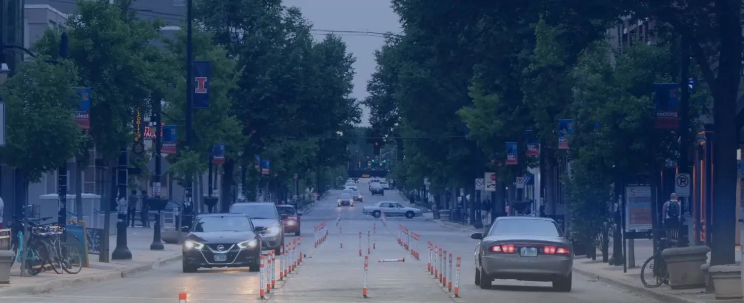
- When driving in and around Downtown, look for the signs and stay aware of one-way streets and reverse traffic lanes (or “flex lanes”). In the latter case, certain lanes change direction at certain times of the day.
- Arizona law requires headlight use from sunset to sunrise, and whenever else it’s difficult to see people and vehicles 500 feet ahead (such as rain and dust storms).
- Horn use should be reserved for emergencies or warnings.
- Traffic usually moves faster in the left lanes on freeways and highways.
- Popular areas like Downtown Phoenix and Old Town Scottsdale tend to charge for parking. In Phoenix, you can use the Parkmobile app for contactless payment.
- NEVER cross a set of double yellow lines.
- Try the GasBuddy app to locate local gas stations and check prices. If you have a Costco membership, you can refuel there and take advantage of their very cheap gas.
- Keep your driver’s license, rental papers, and proof of insurance with you at all times.
- The SR 101 freeway encircles much of the north end of the valley, while the SR 202 freeway runs through the south end of the valley and the SR 303 freeway spans across the valley’s northwest corners. The I-10 freeway runs west to east, and the I-17 freeway starts downtown and runs north to Flagstaff.
- Expect the heaviest traffic during weekday rush hours, typically from 6:00 to 9:00 AM, and from 3:00 to 6:00 PM.
Speed Limits
Under Arizona state law, speed limits are 65 mph (105 km/h) on urban freeways and 25 mph (40 km/h) on smaller residential streets. In addition, Phoenix sets speed limits between 25 mph and 55 mph (89 km/h) on various major thoroughfare roads (or “stroads”). And in neighborhoods in suburban towns like Peoria and Paradise Valley, speed limits may be lower.
In rural areas outside Maricopa County, freeway and highway speed limits can go as high as 75 mph (121 km/h). Always watch for posted signs, as limits can vary.
Road Signs
U.S. road signs are typically noticeable and well-placed. They are almost always in English and use symbols for quick understanding. Speed limit signs are in miles per hour (mph). In Phoenix and throughout Maricopa County, look out for signs marking dedicated bus lanes, bike lanes, railroad crossings, and school streets, which may have special speed limits and other restrictions.
Tolls, Fees, and Restrictions
As of 2025, Arizona has no toll roads or congestion pricing programs in place. But, as noted earlier, Seventh Street and Seventh Avenue have reverse traffic lanes. Check the signs and stay aware of “The Sevens” and their lanes’ current directions when driving downtown.
If you plan to drive to any of the region’s regional parks, state parks, and national parks, monuments, or other public lands, note that many of these parks do charge vehicle entry fees. In particular, if you will be doing a longer road trip to Grand Canyon National Park, the National Park Service typically charges a $35 vehicle fee. And for Arizona State Parks, entrance fees tend to range from $10 to $30 per person.
Discover Phoenix by Car
As you drive around the Valley of the Sun, it becomes clear why this stretch of Arizona holds so much appeal. Even better, Phoenix also makes a great base for exploring the larger Desert Southwest region. With a rental car, you can reach exceptionally beautiful national parks, cool mountain escapes, and refreshing lake retreats, all within a few hours.
Though Phoenix has made some improvements in mass transit in recent years, Valley Metro remains a limited system with fewer options beyond Downtown Phoenix and the main Arizona State University (ASU) campus in Tempe. And since the nearest Amtrak train station sits some 35 miles south of Downtown Phoenix, a car offers far more opportunities to reach places that just can’t be reached by train.
When to Visit
Phoenix is a year-round destination, so there’s not necessarily a wrong time to visit, but keep the area’s climate and weather patterns in mind when planning your trip. During the summer season, daytime highs sometimes soar past 110° Fahrenheit (or 43° Celsius), and the July-September monsoon season also brings the occasional thunderstorms and dust storms. If you intend to visit during the summer, schedule your outdoor activities during the cooler morning hours, and plan for more indoor activities later in the day.
Though Phoenix’s own winters tend to stay mild, snowfall does occur at higher elevations beyond the valley, especially at popular Northern Arizona destinations like the Grand Canyon and Flagstaff. With this in mind, make sure to pack layers and check road conditions in advance for potential closures.
Languages & Communication
English is spoken almost everywhere around Phoenix. But since Phoenix has grown into a more multicultural city, you may also hear Spanish, Tagalog, Vietnamese, and Chinese in certain neighborhoods. Still, nearly all signage is in English, and visitors rarely face language barriers.
Currency & Payments
Since Arizona is part of the United States, the U.S. dollar ($) is used everywhere. Credit and debit cards are widely accepted, and contactless payments are becoming more commonplace around the valley. ATMs are easy to find throughout Maricopa County, but keep in mind that ATMs will charge extra fees if they are not affiliated with your bank, and that banks become fewer and farther between once you head out to more rural parts of Arizona.
Top Driving Routes in and Around Phoenix
- Piestewa Peak/Phoenix Mountains Preserve – About a 15-25 minutes from Downtown Phoenix; a lovely slice of nearly pristine Sonoran Desert in the city, with a variety of moderate to challenging hiking trails
- Camelback Mountain – About a 20-30 minute drive from Downtown Phoenix; this may be Arizona’s most famous urban park, and it might have the valley’s most advanced-level hiking trail up this iconic mountain
- McDowell Sonoran Preserve – About a 30-45 minute drive north of Downtown Phoenix; located in the northern reaches of Scottsdale, this local park has a wider variety of hiking trails suitable for hikers at all levels, and even designated bike and equestrian routes
- Prescott – About 1.5 to 2 hours north of Phoenix; this mountain town has some the state’s most beautiful lakes, such as Watson Lake and Goldwater Lake, along with a vibrant downtown area anchored by the festive Whiskey Row
- Sedona – About 1.5 to 3 hours north; ideal for a romantic and/or relaxing retreat to a gorgeous high-desert environment with numerous sandstone/red rock formations, an active local arts scene, and some of the state’s best spa and wellness-centered resorts
- Flagstaff – About 2 to 2.5 hours north; sitting over 6,800 feet above sea level, this quirky college town (home to Northern Arizona University) also abounds in opportunities for mountain adventures, including skiing and snowboarding during the winter season
- Lake Havasu - About 3 to 4 hours northwest; Arizona may not have an ocean coast, but this Colorado River town is as close as you’ll get to an “Arizona beach town” with a lively boating scene and ample opportunities of thrilling watersports
- Grand Canyon National Park – About 3 to 5 hours north; drive here to discover the many wonders of this 277 mile-long and 6,093 foot-deep gorge, including grand sandstone rock formations, verdant mountain forests, and rich indigenous culture and heritage
When driving around Arizona, check with the Arizona Department of Transportation (AZ 511) for the most up-to-date traffic news. The desert climate can be hard on local roads, so maintenance and repair projects are always underway somewhere.